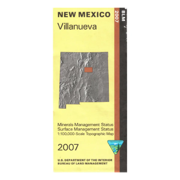
Map: Villanueva NM (Mineral)
Official Bureau of Land Management topographic maps @1:100,000 metric scale (roughly 3/4" = 1 mile), are color-coded to show federally-managed public lands; plus state, private, or tribal lands, military withdrawals, roads and trails, lakes, rivers and streams, and developed recreation areas.
This is a Mineral Management map with an additional layer showing below-surface mineral rights. Includes roads and lands in the Galisteo Basin, San Miguel, Santa Fe, Guadalupe and Torrance Counties and southeastern portions of Santa Fe National Forest. 2007
Description
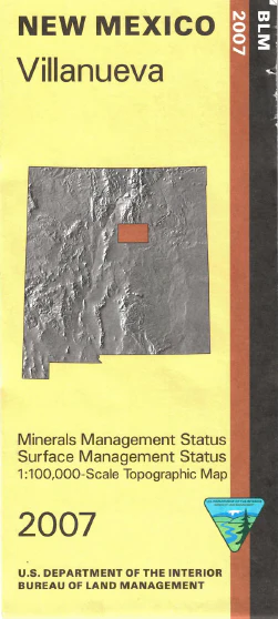
Official Bureau of Land Management topographic maps @1:100,000 metric scale (roughly 3/4" = 1 mile), are color-coded to show federally-managed public lands; plus state, private, or tribal lands, military withdrawals, roads and trails, lakes, rivers and streams, and developed recreation areas.
This is a Mineral Management map with an additional layer showing below-surface mineral rights. Includes roads and lands in the Galisteo Basin, San Miguel, Santa Fe, Guadalupe and Torrance Counties and southeastern portions of Santa Fe National Forest. 2007