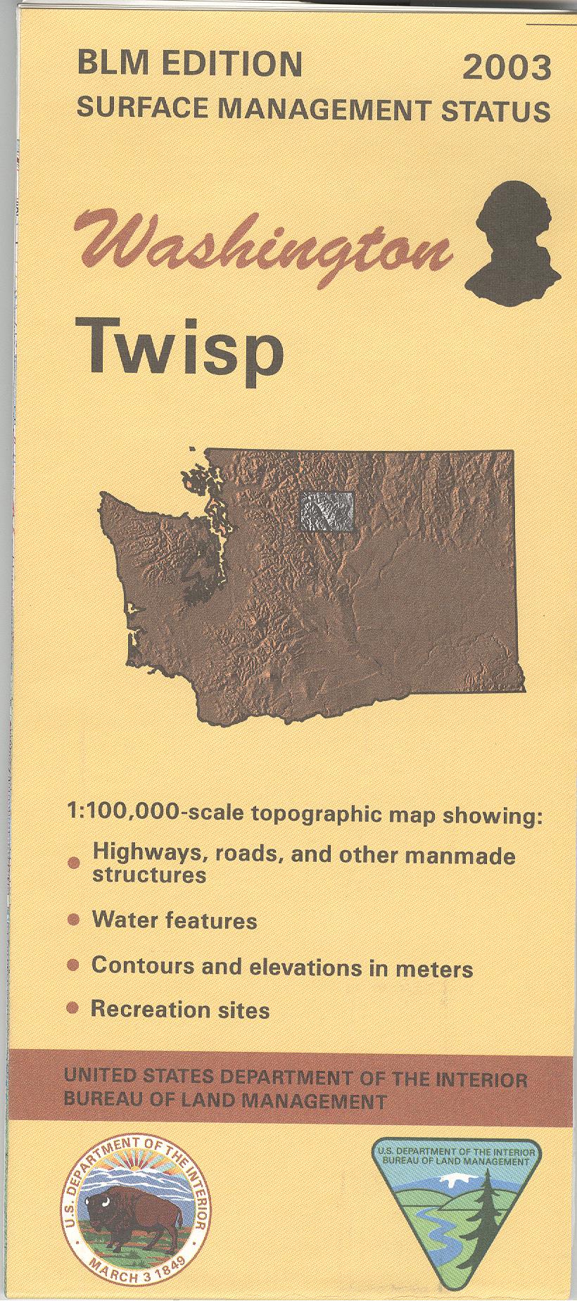
Map: Twisp WA (MINERAL) - WA044SM
Map includes parts of Wenatchee and Okanogan National Forests, Glacier Peak Wilderness, North Cascades National Park, Lake Chelan National Recreation Area, and Methow Valley. From Twisp travel west to explore part of Okanogan National Forest with opportunities for camping, hiking, fishing, and trailhead access to Lake Chelan Sawtooth Wilderness. The Lake Chelan campgrounds marked on the map are accessible only by boat or hiking trails.
Official BLM map shows color-coded federal, state, and private lands, topographic detail, roads, water features, recreation sites, points of interest, place names, county boundaries, and township and range lines. Use this map for hunting in Units 218, 224, 231, 239, 242, 243, 244, and 426, 437, and 450. This is a Mineral Management Map, with an additional layer showing below-surface mineral rights.
Scale is 1:100,000, roughly 3/4 inch to 1 mile. Currently the version with surface and mineral management is available. 2003
Original: $8.99
-65%$8.99
$3.15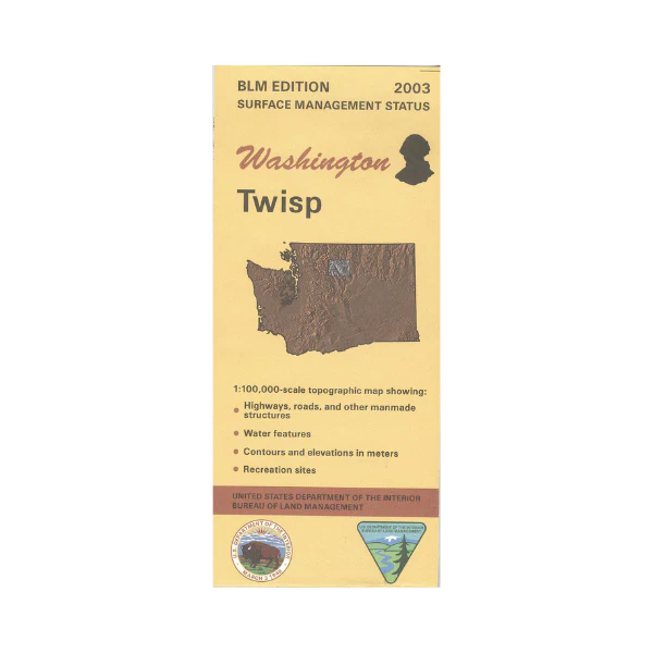
Description
Map includes parts of Wenatchee and Okanogan National Forests, Glacier Peak Wilderness, North Cascades National Park, Lake Chelan National Recreation Area, and Methow Valley. From Twisp travel west to explore part of Okanogan National Forest with opportunities for camping, hiking, fishing, and trailhead access to Lake Chelan Sawtooth Wilderness. The Lake Chelan campgrounds marked on the map are accessible only by boat or hiking trails.
Official BLM map shows color-coded federal, state, and private lands, topographic detail, roads, water features, recreation sites, points of interest, place names, county boundaries, and township and range lines. Use this map for hunting in Units 218, 224, 231, 239, 242, 243, 244, and 426, 437, and 450. This is a Mineral Management Map, with an additional layer showing below-surface mineral rights.
Scale is 1:100,000, roughly 3/4 inch to 1 mile. Currently the version with surface and mineral management is available. 2003