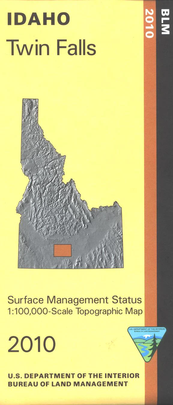
Map: Twin Falls ID - ID1068S
From Shoshone travel east, south, or west to access and explore BLM lands. In Twin Falls visit Shoshone Falls Park(fee) to see the falls and have a picnic. Near Hagerman visit Hagerman Fossil Beds National Monument on the west side of Snake River. Fishing on the river at designated sites between Twin Falls and Hagerman. For history buffs the Oregon National Historic Trail is marked. Official Bureau of Land Management metric topographic map @1:100,000 scale (roughly 3/4"`1 mile), color-coded to show Surface Management/ownership. Map shows roads, BLM roads, recreation sites, waterways, and points of interest. Map is useful for OHV use, and ID Hunting Units 45, 46, 52, 52A, 53. 2010
Original: $8.99
-65%$8.99
$3.15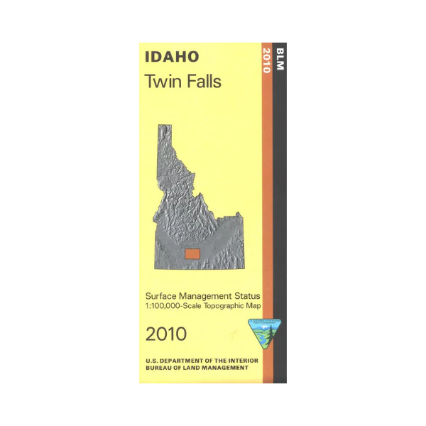
Description
From Shoshone travel east, south, or west to access and explore BLM lands. In Twin Falls visit Shoshone Falls Park(fee) to see the falls and have a picnic. Near Hagerman visit Hagerman Fossil Beds National Monument on the west side of Snake River. Fishing on the river at designated sites between Twin Falls and Hagerman. For history buffs the Oregon National Historic Trail is marked. Official Bureau of Land Management metric topographic map @1:100,000 scale (roughly 3/4"`1 mile), color-coded to show Surface Management/ownership. Map shows roads, BLM roads, recreation sites, waterways, and points of interest. Map is useful for OHV use, and ID Hunting Units 45, 46, 52, 52A, 53. 2010