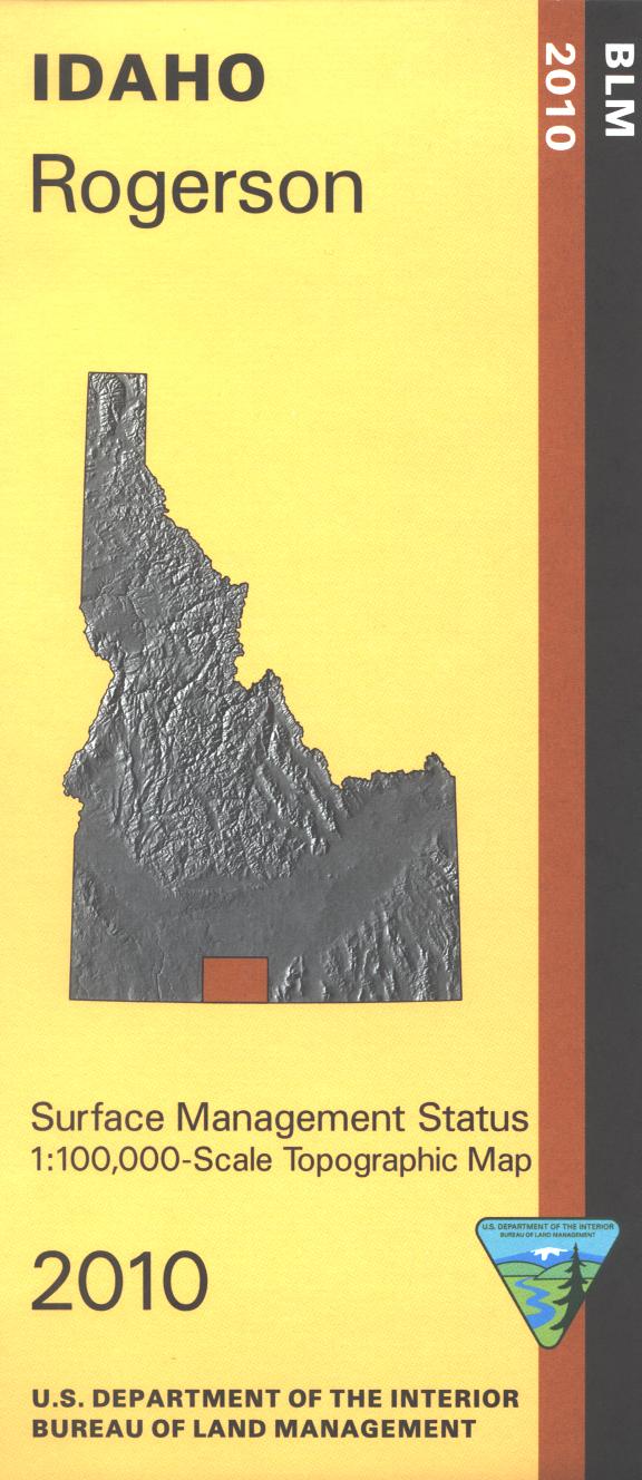
Map: Rogerson ID - ID1056S
Map shows Sawtooth National Forest east of Rogerson; camping, fishing, hiking, horseback riding, and ATV trail riding in the forest. Explore the BLM lands mostly west of Rogerson; camping, fishing, and boating at Salmon Falls Creek Reservoir. Canoeing on Salmon Falls Creek, access site is marked. Official Bureau of Land Management metric topographic map @1:100,000 scale (roughly 3/4"`1 mile), color-coded to show Surface Management/ownership. Map shows roads, forest roads, OHV roads, waterways, recreation sites, trails, and points of interest. Map is useful for OHV use, and ID Hunting Units 46, 47, and 54. 2010
Original: $8.99
-65%$8.99
$3.15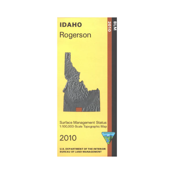
Description
Map shows Sawtooth National Forest east of Rogerson; camping, fishing, hiking, horseback riding, and ATV trail riding in the forest. Explore the BLM lands mostly west of Rogerson; camping, fishing, and boating at Salmon Falls Creek Reservoir. Canoeing on Salmon Falls Creek, access site is marked. Official Bureau of Land Management metric topographic map @1:100,000 scale (roughly 3/4"`1 mile), color-coded to show Surface Management/ownership. Map shows roads, forest roads, OHV roads, waterways, recreation sites, trails, and points of interest. Map is useful for OHV use, and ID Hunting Units 46, 47, and 54. 2010