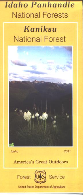
Map: Kaniksu National Forest ID
Covers the Kaniksu National Forest and includes Priest Lake, and Lake Pend Oreille. Also shows a section of Kootenai National Forest in Montana, and a section of Coleville National Forest in Washington. A good map to have when doing day trips from Sandpoint, or planning camping or hiking activities. Lake activities include camping, fishing, boating, and watersports; boat ramps and recreation sites are marked. Enjoy scenic driving through the forest while watching for wildlife. Official Forest Service map is scaled at 1/2"=1 mile showing all lands, roads, trails, waterways, campgrounds, other recreation sites, and points of interest. within the forest. (no topographic data). The map includes information about motorized off-road travel (ATVs, motorcycles, etc.) Map is useful for ID Hunting Units 1, 2, 3, 4, and 4A. Paper map. 2011
Original: $19.99
-65%$19.99
$7.00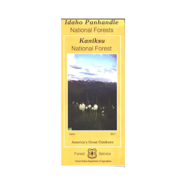
Description
Covers the Kaniksu National Forest and includes Priest Lake, and Lake Pend Oreille. Also shows a section of Kootenai National Forest in Montana, and a section of Coleville National Forest in Washington. A good map to have when doing day trips from Sandpoint, or planning camping or hiking activities. Lake activities include camping, fishing, boating, and watersports; boat ramps and recreation sites are marked. Enjoy scenic driving through the forest while watching for wildlife. Official Forest Service map is scaled at 1/2"=1 mile showing all lands, roads, trails, waterways, campgrounds, other recreation sites, and points of interest. within the forest. (no topographic data). The map includes information about motorized off-road travel (ATVs, motorcycles, etc.) Map is useful for ID Hunting Units 1, 2, 3, 4, and 4A. Paper map. 2011