Map: Blackfoot ID - ID1005S
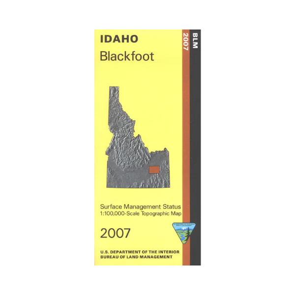
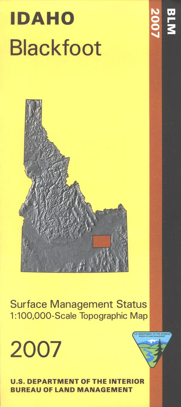
Explore the BLM lands northwest of Springfield, two sections of the Oregon National Historic Trail are marked. Map shows a north section of Fort Hall Indian Reservation. Official Bureau of Land Management metric topographic map @1:100,000 scale (roughly 3/4"`1 mile), color-coded to show Surface Management/ownership. Map is useful for ID Hunting Units 63, 68, 68A, and 69. 2007
Description
Explore the BLM lands northwest of Springfield, two sections of the Oregon National Historic Trail are marked. Map shows a north section of Fort Hall Indian Reservation. Official Bureau of Land Management metric topographic map @1:100,000 scale (roughly 3/4"`1 mile), color-coded to show Surface Management/ownership. Map is useful for ID Hunting Units 63, 68, 68A, and 69. 2007